-
E-mail
1769283299@qq.com
-
Phone
15666889252
-
Address
Room 110, 1st Floor, Workshop 3, Oulong Technology Park, No.1 Jinma Road, Yuqing Community, Xincheng Street, Weifang High tech Zone, Shandong Province
Shandong Boke Instrument Co., Ltd
Efficient soil erosion monitoring equipment, quickly grasp the regional soil erosion situation
Date: 2025-12-10Read: 27
Efficient soil erosion monitoring equipment, quickly grasp the status of regional soil erosion. BK-JL2 Shandong Boke Instrument Manufacturer is continuously updating. Soil erosion seriously restricts regional ecological security and sustainable development, and quickly and accurately grasping its dynamic status is a prerequisite for scientific prevention and control. The efficient soil erosion monitoring equipment, with advanced technology and innovative design, has achieved real-time and efficient monitoring of soil erosion intensity, scope, and causes, providing key data support for regional soil and water conservation work.
Rapid deployment, full coverage of WSJ. Traditional monitoring methods rely on manual investigation, which is time-consuming and has limited coverage. The efficient monitoring equipment adopts modular design and can be quickly installed in key areas such as slopes, gullies, and farmland. For example, when combined with a soil erosion needle, a portable laser rangefinder can measure the erosion amount of a sample plot within 1 hour; The drone is equipped with a multispectral camera and can patrol hundreds of square kilometers in a single day, quickly identifying exposed surfaces and erosion channels. In a county on the Loess Plateau, after only 3 days of equipment deployment, the precise positioning of key areas of soil erosion in the county was completed, with an efficiency improvement of 80% compared to traditional methods.
Real time transmission, zero latency data insight
The device integrates IoT technology, and after data collection, it is wirelessly transmitted to the cloud platform through 5G/LoRa, achieving real-time linkage between "terminal network platform". Management personnel can check soil moisture, slope, rainfall erosion force and other parameters at any time through mobile apps or computers, and automatic alarms will be triggered for abnormal situations. In a certain ecological restoration project area in the Yangtze River Basin, equipment detected a sudden increase in soil moisture in a certain section of slope protection after continuous rainfall. The system immediately pushed a warning, and maintenance personnel reinforced it in a timely manner, avoiding landslide disasters and ensuring the effectiveness of governance.
Intelligent analysis and more scientific decision support
The device is equipped with AI algorithms that can fuse and analyze multiple sources of data, automatically generating reports on key indicators such as soil erosion modulus and vegetation coverage. For example, in the southern red soil region, the equipment analyzed the relationship between rainfall and erosion and found that the "equal height grass belt+green manure coverage" model can reduce surface runoff by 40%, providing a quantitative basis for optimizing governance strategies.
Efficient soil erosion monitoring equipment, with "fast, accurate, and intelligent" as its core, helps to quickly grasp the status of regional soil erosion and injects technological momentum into ecological protection and sustainable development.
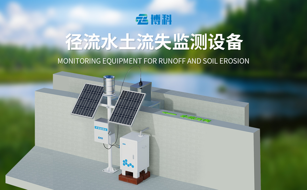
1、 Product Introduction
In the monitoring of soil erosion in runoff fields and small watersheds, traditional manual measurement of flow and sediment data has the problems of large workload and low efficiency, as well as high labor costs and large data errors. The automatic monitoring system for soil erosion has undergone years of technological breakthroughs and extensive field experiments, successfully revolutionizing the traditional manual monitoring mode.
This system consists of a data acquisition controller, sediment concentration measurement sensor, open channel flow sensor, and rainfall sensor. Among them, the open channel flow sensor component can automatically measure the runoff flow and accurately calculate the total runoff and instantaneous runoff data at different time periods through the controller; The sediment concentration measurement sensor collects real-time sediment concentration data based on the characteristics of runoff changes at sediment measurement ports with vertical distribution of runoff; The rainfall sensor is responsible for accurately obtaining cumulative rainfall data. The collaborative operation of various sensors and the collected data have critical value for soil erosion analysis.
The system uploads real-time sediment content, runoff, and accumulated rainfall data collected by various sensors to the cloud platform, making it easy for users to access, analyze, and manage data anytime and anywhere, providing scientific and accurate data support for soil and water conservation decisions.
Workflow of sediment content sensor: Surface water enters an open channel or Bacher trough through a water diversion channel and passes through an open channel flowmeter to obtain instantaneous runoff data, and calculates the total runoff per unit time. The surface water is collected by a water diversion pipe and sent to the main water tank. When the surface water capacity of the main water tank is sufficient for detection, the system starts and sends the surface water to be measured to the sample bin for detection. The sensor sends the collected data to the processor for processing to obtain sediment content. After obtaining the data, the sensor discharges the internal sample through the drainage pipe to prepare for the next sampling. The processor outputs to external devices through 485.